As in Trinidad, hiring a car is undoubtedly the best way to see this Caribbean island. One day we set off to explore eastern Tobago. Having studied the map, we were drawn to the British-sounding villages of Goodwood, Pembroke, Glamorgan, Richmond and Speyside.
In this article
Leaving Scarborough
We left Tobago’s capital, Scarborough, on the Claude Noel Highway, named after the Tobagonian WBA and Commonwealth boxing champion. The first landmark we passed was named after another famous sporting son of Tobago, the Dwight Yorke Stadium, built for the 2001 FIFA under 17 world championship.
The Windward Coast
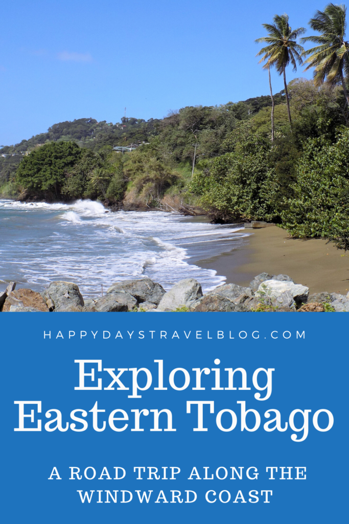
Soon after, the highway ends and becomes the much smaller Windward Coast Road. The first glimpse you get of the Atlantic Ocean is at Hillsborough Bay. This much windier coast and rougher, greyer sea with its massive waves is in stark contrast to the calmer, bluer leeward (or Caribbean) coast.
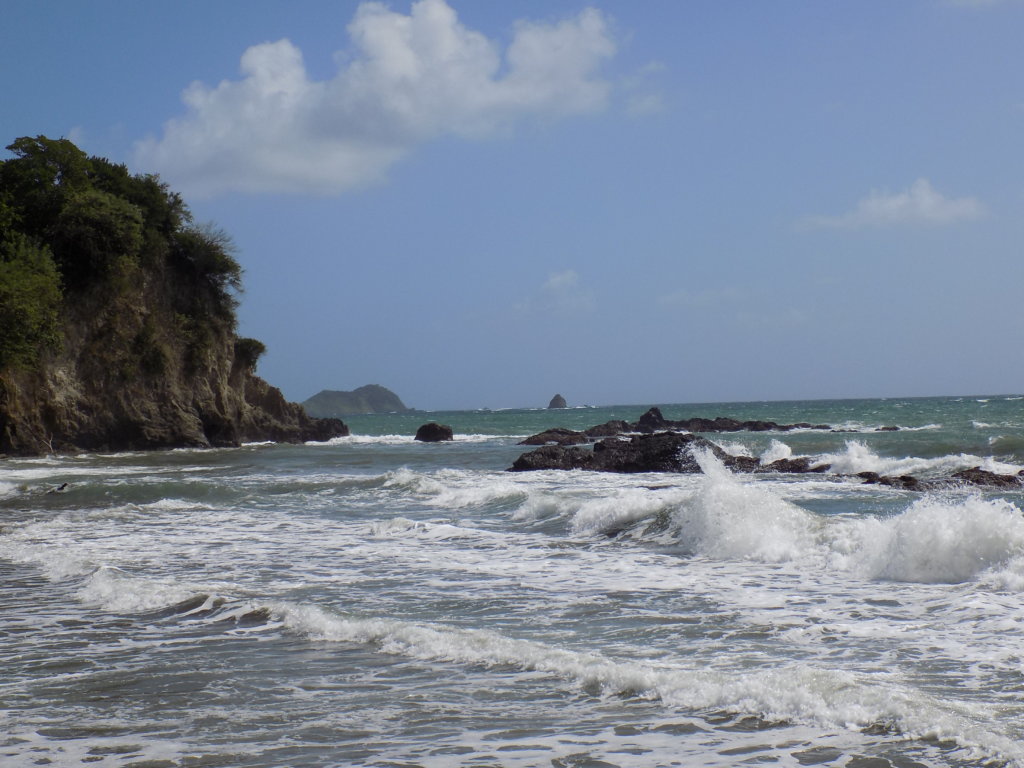
We drove on through Mount St. George, a tiny village with no landmarks to show that it was once Georgetown, Tobago’s first capital under British rule and named after George III. It was only the capital from 1762 to 1769, after which time the British moved their headquarters to Scarborough.
The next village, Studley Park, is notable only because it is home to Tobago’s municipal dump and to the island’s largest quarry which is steadily eating into the surrounding hillsides. It was quite a shock to stumble upon such an ugly enterprise in an otherwise beautiful landscape.
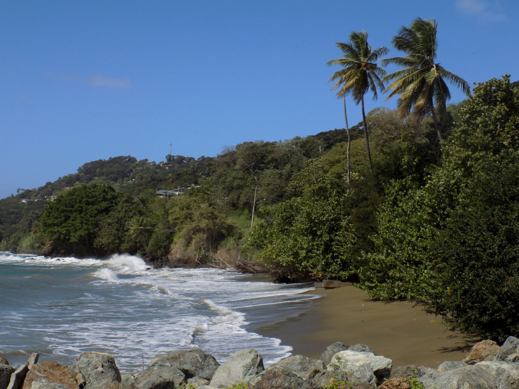
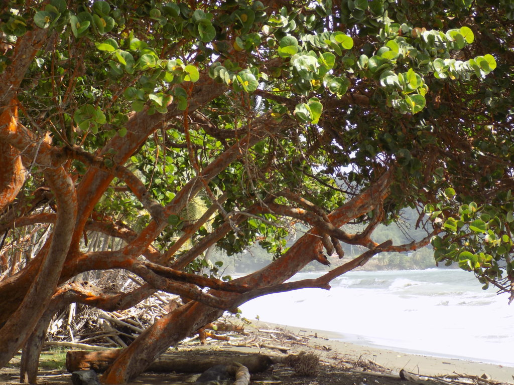
We paused to take photos at Granby Point, the site of Fort Granby which was built by the British in around 1765 to protect Georgetown. Nothing now remains of the original fortifications. The cannons have been replaced by gazebos, landscaped gardens and picnic tables. The views are still the same, though – stunning vistas over the ocean to nearby Smith’s Island.
Argyle Falls
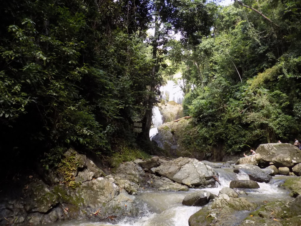
We continued through the villages of Goodwood, Pembroke and Belle Garden before stopping at the Argyle Waterfall, Tobago’s highest falls which tumble 54 metres out of the greenery into a deep pool. From the car park, it’s a fifteen-minute walk to the falls. It’s a pretty easy walk, but the earlier rain had made it very muddy and slippery in places, not so simple to negotiate in my flip-flops! It was worth it, though. The falls were beautiful and the water was refreshingly cool.
Speyside
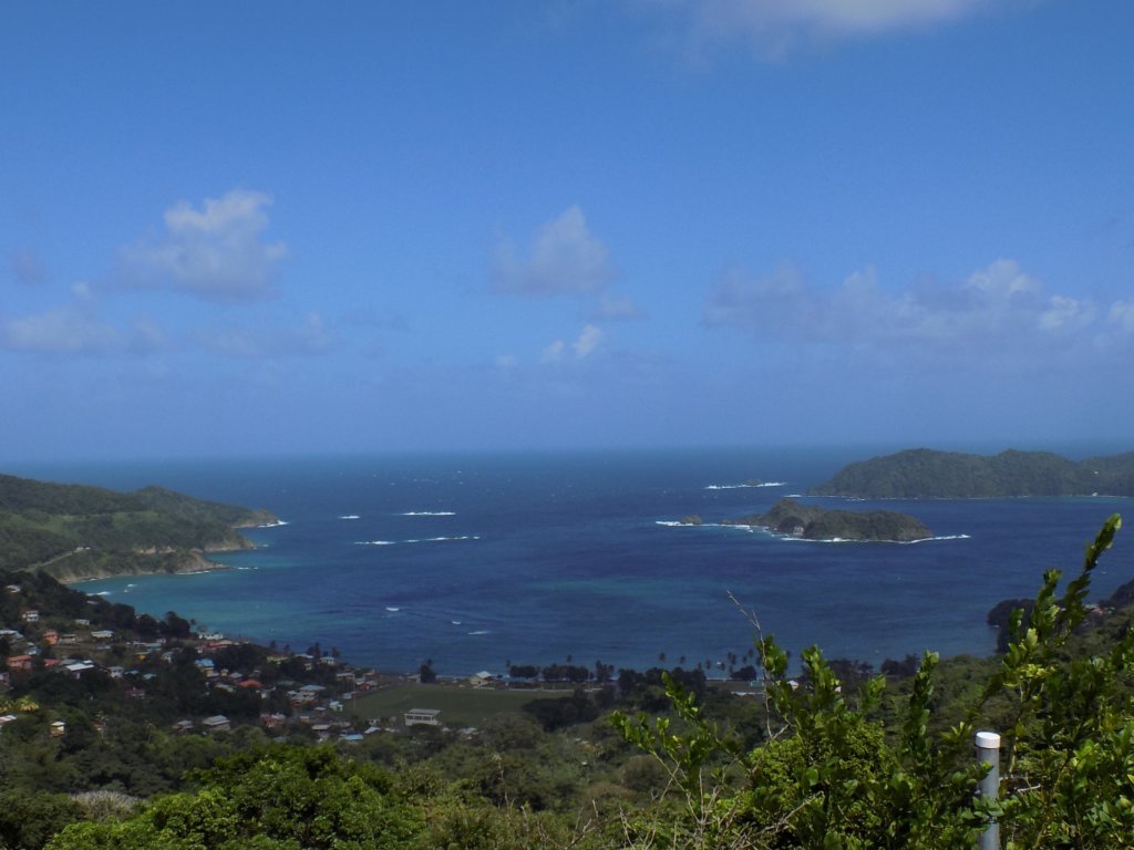
From there, we drove on through Roxborough and Delaford to King’s Bay. The views along this stretch are stunning, but the road winds and it isn’t easy to stop to take photos. As we approached the village of Speyside, we glimpsed amazing coastal views and spotted a restaurant, so we stopped for lunch. The charmingly named Speyside Overlooking Restaurant and Bar turned out to be a good choice! The kingfish we were served was delicious and the views over Speyside and out to Goat Island and Little Tobago were spectacular!!
Flagstaff Hill
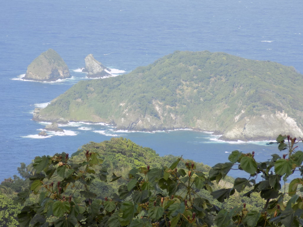
After lunch, we drove down to Speyside itself and then climbed inland. Just before the road plummeted down to the Caribbean coast, we turned off and made our way to the top of Flagstaff Hill which affords fabulous views of both the Atlantic and Caribbean sides of the island. You can see Tyrel’s Bay with Little Tobago and Goat Island on one side, and Man O’War Bay, Booby Island, Cambleton Battery and, much further out, Sisters Rocks, on the other. This vantage point was, at different times, used by both British and French soldiers. They employed mirrors to warn their colleagues, stationed at Cambleton Battery below, of approaching ships.
The Leeward Coast
Returning to sea-level, we paused in Charlotteville, one of Tobago’s largest communities with a population of 5000. It is described as ‘absurdly pretty’ in my Rough Guide, but I think the building projects going on along the seafront make this description rather obsolete. We didn’t linger!
Instead, we continued on the Leeward Coastal Road which winds its way steeply upwards through the small hamlet of Hamilton and on to L’Anse Fourmi. The road here was in the worst condition we’d seen in Tobago – more like a Trinidadian road! There was vegetation growing through the tarmac in several places, countless landslides blocking parts of the road, and numerous sizeable potholes to keep us on our toes! The rainforest here is lush and there are lots of waterfalls cascading down the cliffs and across the road. The only other vehicles we saw were stopped at the roadside with the occupants washing themselves, their clothes, and/or their cars in the clear water!
The next place we came to was Bloody Bay, so called because of a battle which took place here in 1771 between English soldiers and African slaves. It is said that the fighting was so fierce that the sea turned crimson with spilt blood.
Parlatuvier
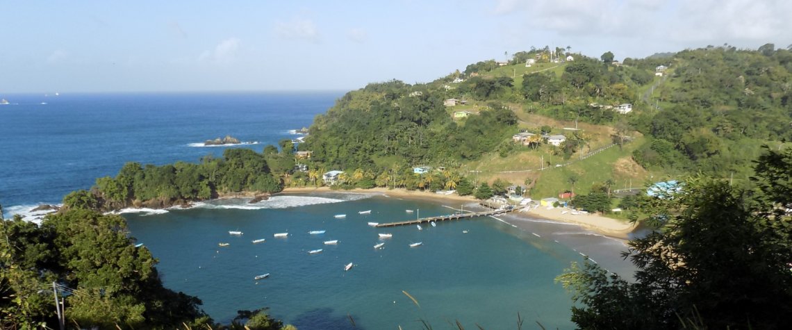
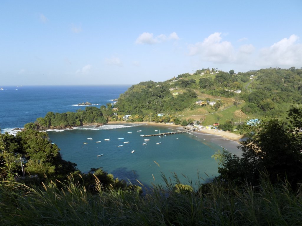
From there, we drove on to Parlatuvier. This attractive fishing bay is off the radar for most tourists, which is a shame as it is picture-postcard pretty! The best way to appreciate the look of it is to drive on out of the village and stop at Glasgow Bar for a drink. From here, you have the perfect birds-eye view back down over Parlatuvier. It’s the ideal spot to enjoy a cool beer after a hard day’s sightseeing!
Englishman’s Bay
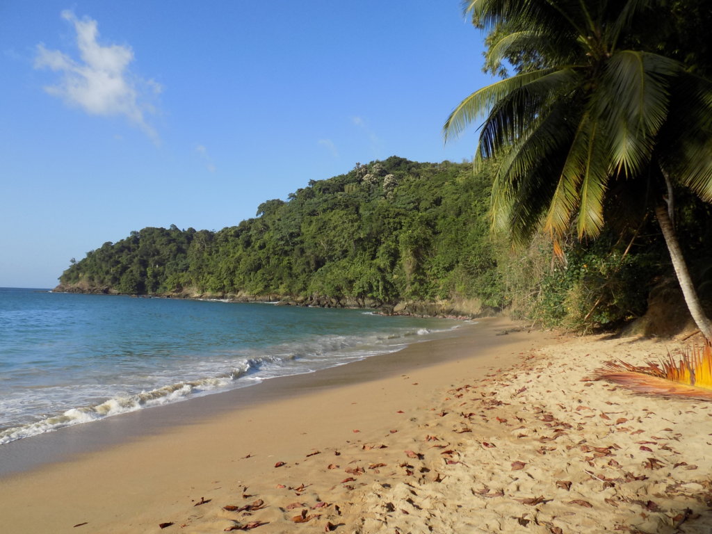
Our last stop of the day was at Englishman’s Bay for a swim. Hidden from the road by dense bush, this perfect crescent of pure yellow sand, deep blue water and an offshore reef became our favourite beach on Tobago. If you’re driving, you have to look out for a blue and white sign and turn off down a short dirt track to get to it. There is a small café set back from the beach which serves amazing barbecued mahi-mahi fish. Otherwise, the bay is undeveloped. We returned there several times and were always delighted by this quintessential Caribbean paradise.
Take a Tour
Whilst it’s perfectly possible to explore Tobago independently, why not join a tour and let someone else sort out the logistics? It’s a great idea, especially if time is limited. Whenever we visit a new destination, we book a tour with a local guide. There’s no better way to get under the skin of a place! We use Viator when we want to uncover interesting things to do in a new country. They’re easy to use and book with, and we’ve had some amazing experiences with them.
Check out these examples:
READ MY COMPLETE TOBAGO TRAVEL GUIDE
Read more about Tobago and its birdlife
Try my Tobago colouring books and cookbook!
If you like what you’ve read, PIN IT!!
If you’re travelling soon, please use these links!
Are you travelling soon? Use these links when making your bookings. These are the companies we use. It won’t cost you any extra, but we will earn a few pennies to help keep Happy Days Travel Blog going. Thank you!!
- Book your travel insurance with World Nomads (Never leave home without protecting yourself, your trip and your belongings!)
- Book your flight with Skyscanner
- Book your accommodation with Booking.com
- Book a tour with Tour Radar or Intrepid Travel
- Book city tours and activities with Get Your Guide
Disclosure: This post contains affiliate links. If you click through for more information, or to make a purchase, it may result in a small commission coming my way. Please note that there is no extra cost to you associated with this. Thank you so much for supporting my site.
Join our mailing list

Sign up to receive our monthly newsletter. Keep up with what we're doing and be the first to receive special offers and insider tips.

